
We had a big year for censusing plants in natural remnant populations. In 2017 we did both total demo, visiting all plants, and flowering demo, visiting just plants that flowered this year. Check out the chart below to see what we focused on at each site:
| Total Demo | Aanenson, Around LF (partial), Common Garden, East of Town Hall, East Riley, Hegg Lake, Landfill West, Loeffler Corner East, NRRX, recruit he, recruit hp, recruit hs, Riley, RRX, South of Golf Course, Steven’s Approach, transplant plot |
| Flowering Demo | Around LF, BTG, DOG, Elk Lake Road East, Golf Course, KJs, Krusemark, Landfill East, Liatris Hill, Loeffler Corner West, Near Town Hall, Nessman, NNWLF, North of Golf Course, NWLF, On 27, recruit el, recruit hw, recruit ke, recruit kw, RRXDC, Staffanson East Unit, Staffanson West Unit, Tower, Town Hall, West of Aanenson, Woody’s, Yellow Orchid Hill East, Yellow Orchid Hill West |
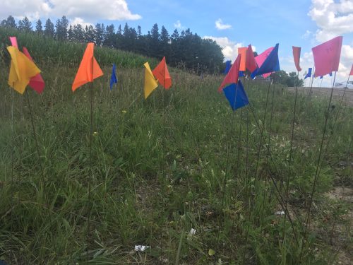
We stake to locations where flowering plants have been found in the past and place a flag there. This is the East Riley roadside remnant, an area with a lot of Echinacea close together and a high chance of getting mowed.
When we find a new flowering Echinacea plant, we give it a tag and get its location with a survey-grade GPS (better than 6 cm precision). Then, we can revisit this plant for years to come and monitor its survival and reproduction.
This season we added 5945 demo records and about 1375 survey records to our database. After over 20 years of this method, we now have a very rich longitudinal dataset of life histories including thousands of plants. REU Will Reed was a huge help organizing demo tasks for Team Echinacea over the summer and helping out with demap (the demographic census database) during the year.
Year started: 1996
Location: Roadsides, railroad rights of way, and nature preserves in and near Solem Township, Minnesota.
Overlaps with: Flowering phenology in remnants, fire and flowering at SPP
Data collected: demo records include Flowering status, number of rosettes, number of heads, neighbors within a 12 cm radius of plants found. These are all taken with PDAs that sync with an MS Access database. They are all transferred to the demap R repository in bitbucket with git version control.
GPS points shot: Points for each flowering plant this year shot mostly in SURV records, stored in surv.csv. Each location should be either associated with a loc from prior years or a point shot this year.
Products:
- Amy Dykstra’s dissertation included matrix projection modeling using demographic data
- Project “demap” merges phenological, spatial and demographic data for remnant plants
You can find out more about the demographic census in the remnants and links to previous posts regarding it on the background page for this experiment.
Leave a Reply